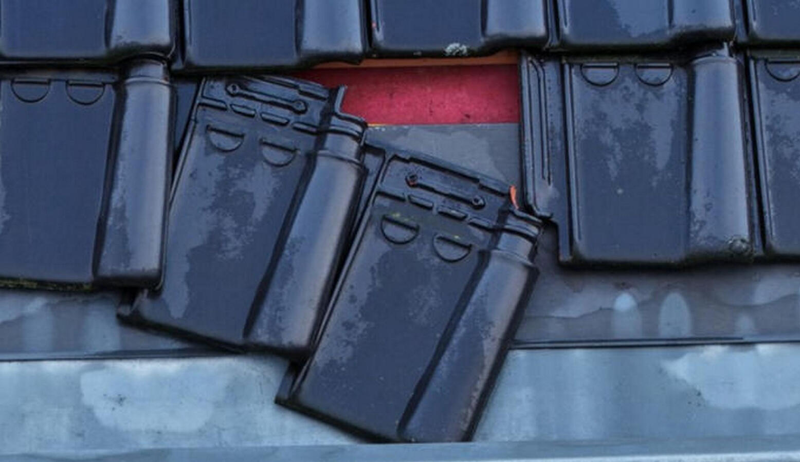
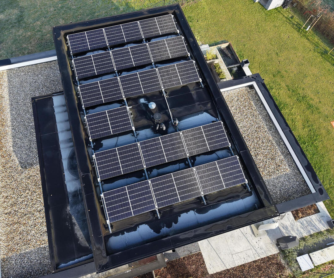
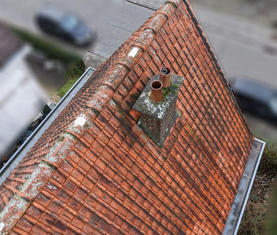
Inspection technique et visuelle de zones difficiles d'accès.
Modélisation 2D/3D d'un projet pour prendre des mesures précises, suivre l'avancement et créer des cartes géoréférencées.
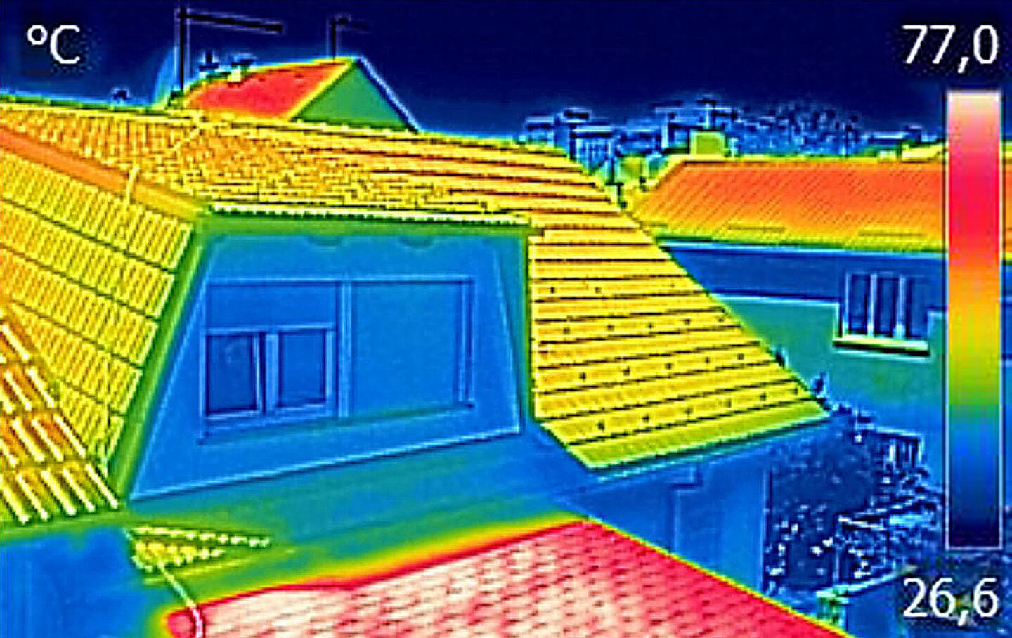
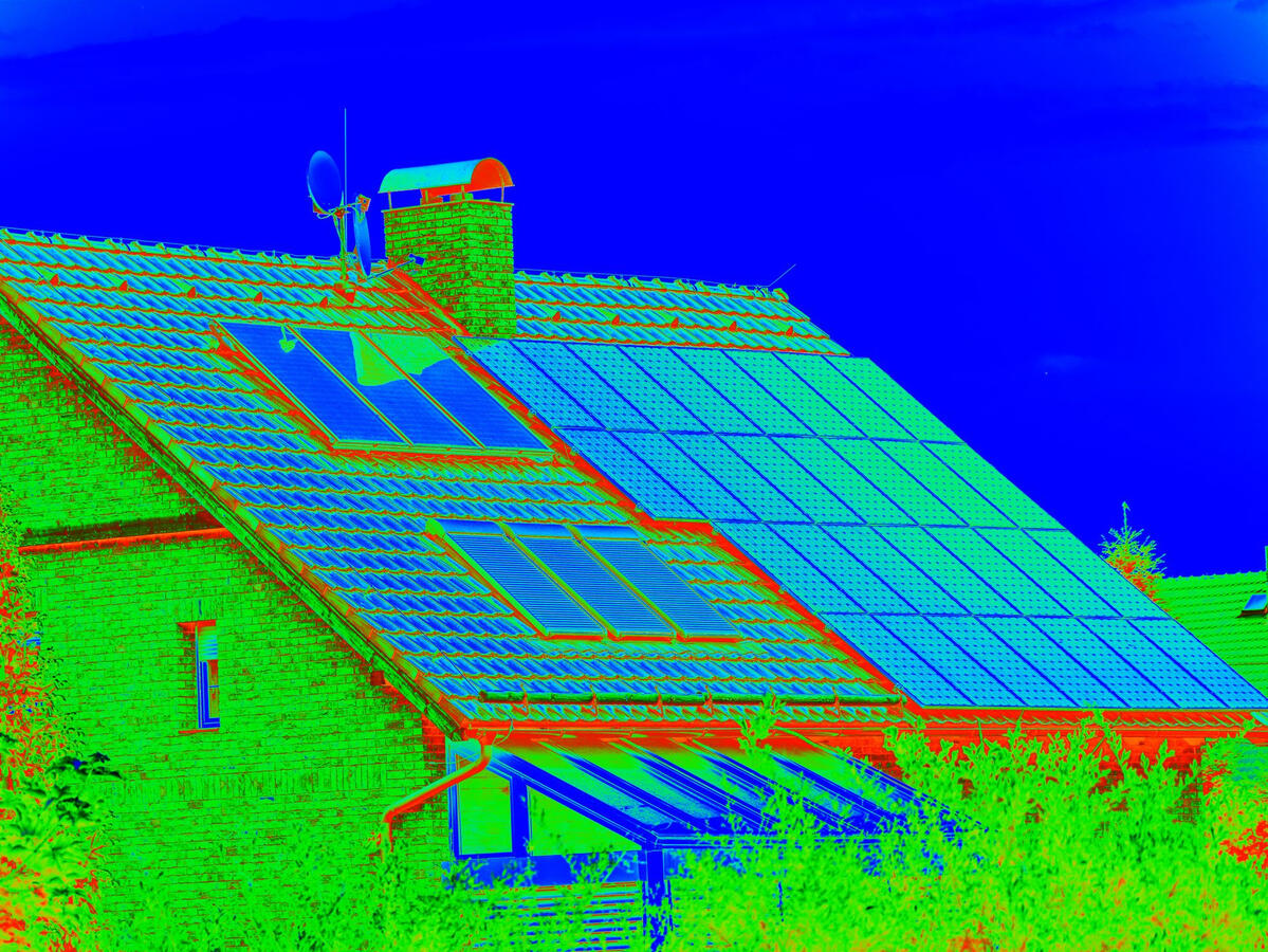
Images infrarouges de bâtiments ou domaines pour révéler les variations de température telles que les pertes de chaleur ou les fuites d'eau.
Présentation de propriétés et domaines.
Immersion totale à bord d'un drone First Person View.
Vidéo trou par trou qui donne l'avantage ultime aux joueurs de golf.
| 7 étapes de votre projet |
|---|
| 1 Le pilote de drone vous écoute et vous conseille |
| 2 Proposition de mission en fonction des conditions du site |
| 3 Préparation et exécution des vols dans le cadre légal |
| 4 L’ingénieur traite et analyse minutieusement les prises de vue |
| 5 Présentation des livrables |
| 6 Mise en oeuvre de vos remarques |
| 7 Livraison par téléchargement sur un serveur en ligne |
À propos
DronoGenic est une filiale de beProject basée à Auderghem/Bruxelles.Le nom DronoGenic est une combinaison des mots drone et photogenic (photogénique en anglais). Ce nom conceptualise le principe que le drone et la photo/vidéo font partie des gènes de l’entreprise. Cela signifie aussi que nos projets sont tous dronogéniques!
| 7 raisons de nous faire confiance |
|---|
| 1 Un service dédié et multidisciplinaire |
| 2 Une communication continue et transparente |
| 3 Une flotte de drones modernes et fiables |
| 4 Un pilote qualifié et expérimenté |
| 5 Des prises de vue aériennes de haute qualité |
| 6 Une prestation rapide et sûre |
| 7 Le respect des délais et de votre budget |
Qui fait voler tout cela ?
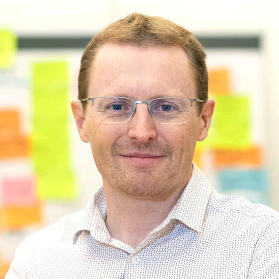
Bonjour, je m'appelle Sebastien!Ingénieur civil électromécanicien spécialisé en robotique, chef de projet senior, photographe professionel, diplômé en gestion de l'aviation, passionné d'aventure, je me suis tout naturellement laissé mordre par le monde du drone.Pendant plus de 18 ans, j'ai participé à la livraison de projets internationaux couvrant de nombreux secteurs tels que l'aérospatial, l'énergétique et le ferroviaire. C'est au cours de ces expériences que j'ai pu apprécier la complexité des sites de construction, mais aussi le potentiel de l'aide apportée par les drones au secteur.Je possède les certifications requises pour piloter des drones dans l'union européenne, en Islande, Norvège, Suisse et au Liechtenstein.
Êtes-vous intéressé(e) ? Contactez-moi pour discuter de votre projet et vos besoins.
DronoGenic est reconnaissant du soutien reçu de la part de
Photogrammétrie
Voir l’inaperçu
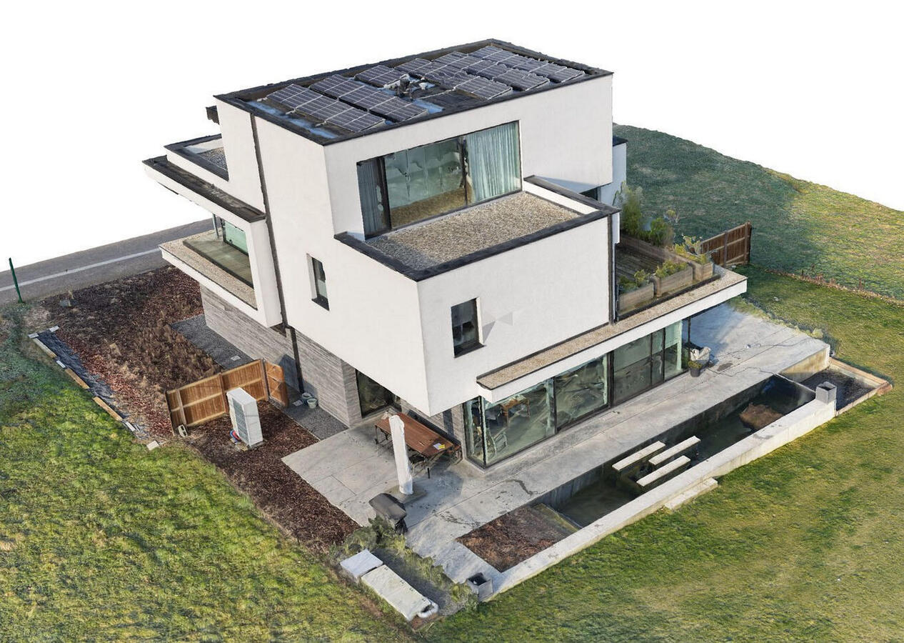
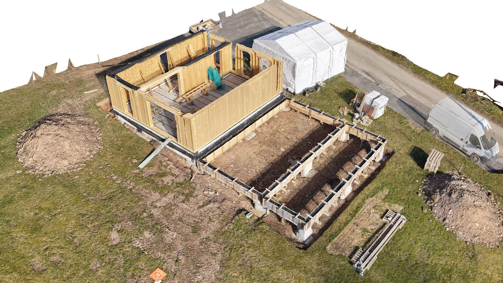
La photogrammétrie par drone est une technique qui utilise des drones pour capturer des images aériennes de chantiers, infrastructures, ouvrages d’arts ou zones définies, qui sont ensuite traitées pour créer des modèles 3D haute résolution.Les avantages de la photogrammétrie par drone sont nombreux:
Précision: Les modèles 3D obtenus sont extrêmement précis, permettant des mesures très fines ;
Rapidité: La collecte de données est rapide et efficace, surtout pour les grandes surfaces ;
Coût: Le coût d'une mission photogrammétrique par drone est souvent inférieur à celui des méthodes traditionnelles ;
Sécurité: Évitement des risques liés à l'accès à des zones difficiles ou dangereuses...
La photogrammétrie par drone offre une multitude de possibilités e.g.
Suivi de chantier: Comparaison de modèles 3D à différentes étapes de construction pour vérifier l'avancement des travaux et détecter d'éventuels écarts ;
Inspection de bâtiments: Détection de fissures, de déformations, d'infiltrations d'eau ou de problèmes d'étanchéité ;
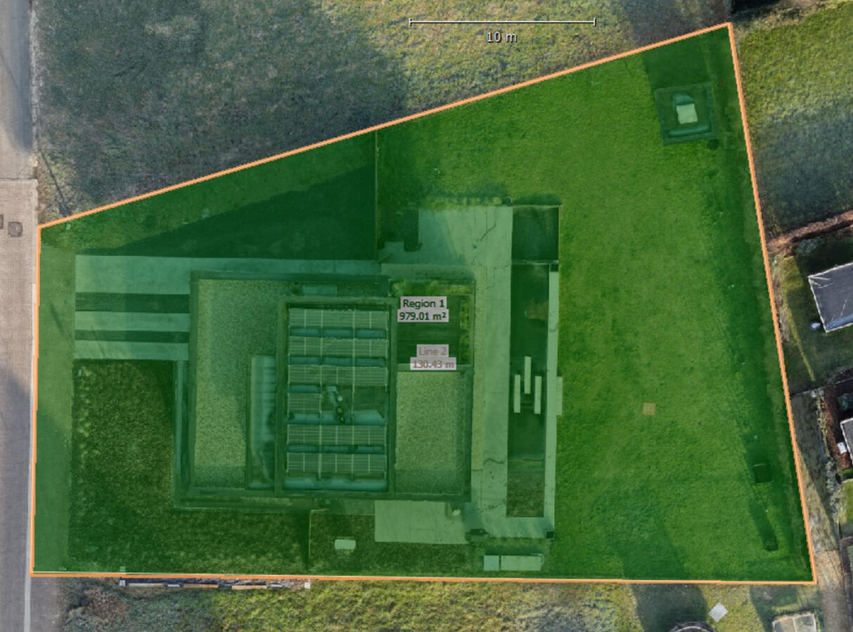
Estimation des volumes: Calcul précis des volumes de matériaux excavés ou à apporter pour les travaux de terrassement ;
Numérisation de sites: Création de modèles 3D précis de sites ou terrains pour une étude approfondie...
Êtes-vous intéressé(e) ?
Inspection
Voir l’inaperçu
L'inspection par drone est utilisée pour examiner visuellement les infrastructures, les maisons et terrains.
Cette technologie offre des avantages significatifs par rapport aux méthodes d'inspection traditionnelles, par exemple
Sécurité accrue : Les drones éliminent la nécessité pour le personnel d'accéder à des endroits dangereux ou difficiles d'accès, réduisant ainsi les risques associés au travail en hauteur, dans des espaces confinés ou à proximité d'équipements dangereux.
Efficacité accrue : Les inspections sont souvent réalisées beaucoup plus rapidement que les méthodes traditionnelles, ce qui permet de couvrir de plus grandes zones en moins de temps et de minimiser les temps d'arrêt des actifs critiques.
Rentabilité : Les inspections par drone s'avèrent souvent moins onéreuses en réduisant le besoin d'échafaudages coûteux, d'équipements spécialisés et de main-d'œuvre importante.
Meilleure accessibilité : Les drones peuvent facilement accéder à des endroits éloignés, difficiles ou inaccessibles, ce qui permet d'obtenir des informations précieuses sur les infrastructures telles que les ponts, les pipelines et les lignes électriques.
Qualité supérieure des données : Les drones capturent des données de haute qualité avec un niveau de détail exceptionnel, détectant souvent des défauts mineurs qui pourraient échapper à l'œil humain. Ces données peuvent être utilisées pour une analyse détaillée et une prise de décision éclairée.
Inspections répétables : Une surveillance cohérente et régulière devient plus facile, permettant de suivre les changements au fil du temps et d'identifier rapidement les problèmes potentiels.
De nombreux secteurs bénéficient des inspections par drone, notamment les infrastructures (ponts, routes, voies ferrées), l'énergie (parcs solaires, éoliennes), la construction (inspection des bâtiments, suivi de l'avancement des travaux), l'agriculture (suivi sanitaire des cultures), l'exploitation minière, les télécommunications et l'immobilier pour les particuliers et les propriétaires d'entreprise.
Êtes-vous intéressé(e) ?
Thermographie
Révéler l’invisible
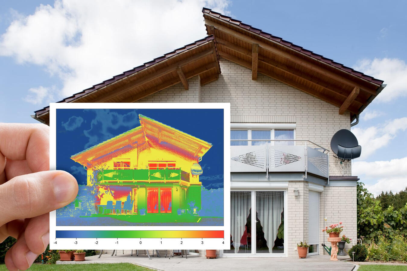
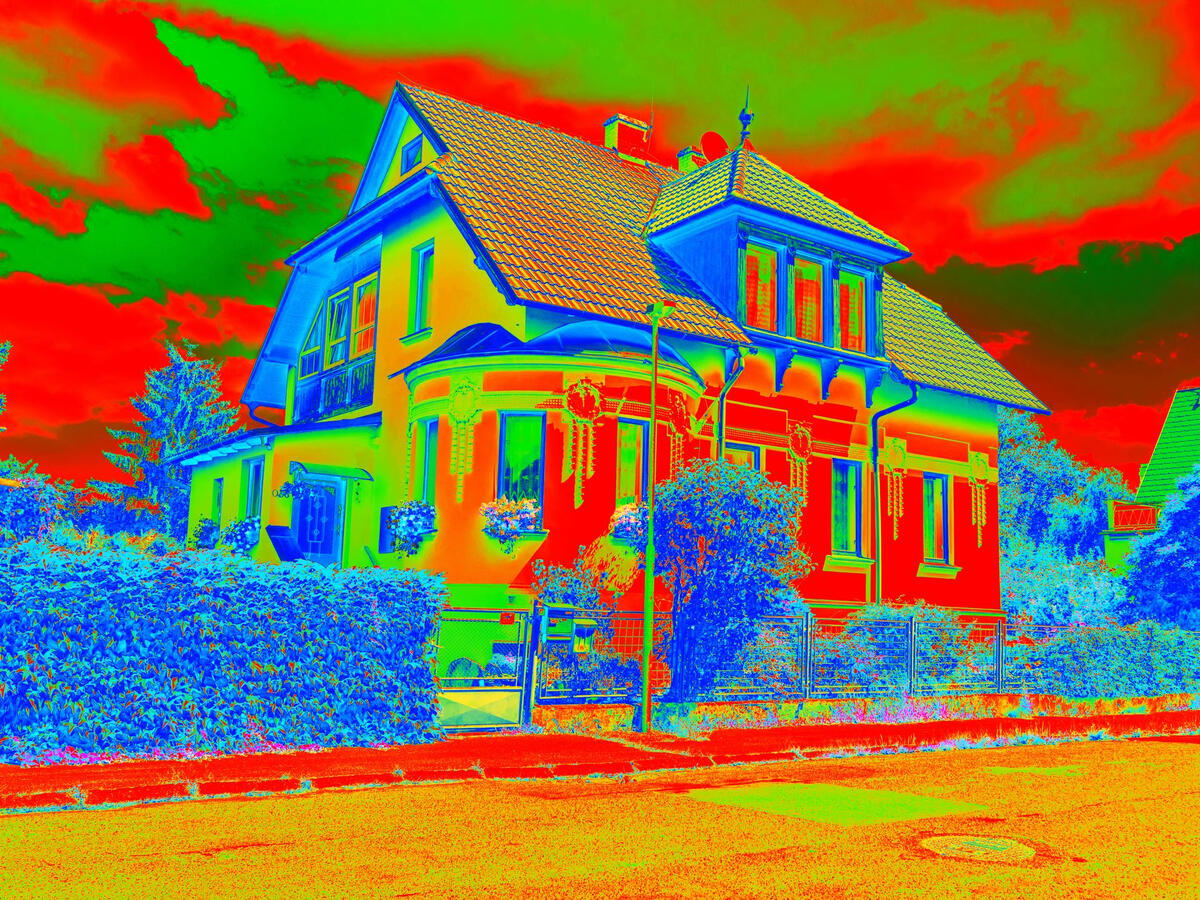
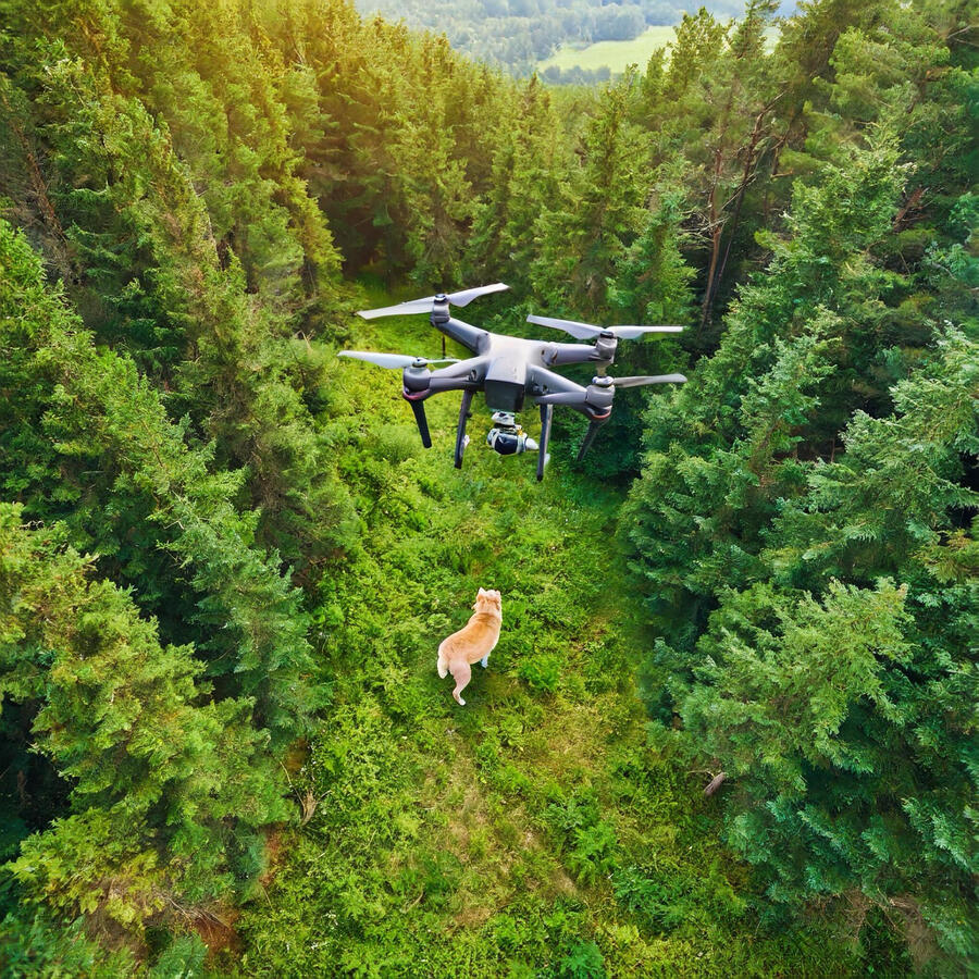
La thermographie par drone est une technique qui utilise des drones équipés de caméras thermiques pour capturer les signatures thermiques de bâtiments, d'infrastructures (panneaux photovoltaïques, installations industrielles, réseaux électriques, chemin de fer...) et d'animaux (par exemple perdus en forêt).
Ces données peuvent être analysées pour identifier les variations de température, les problèmes potentiels ou les inefficacités énergétiques et ainsi détecter les anomalies, les fuites, les problèmes d'isolation…Les avantages de la thermographie par drone sont nombreux:
Accessibilité: Inspection de zones difficiles d'accès ou dangereuses ;
Rapidité: Couverture rapide de grandes surfaces ;
Précision: Mesures thermiques précises et détaillées ;
Sécurité: Réduction des risques pour les opérateurs...
La thermographie par drone offre une multitude de possibilités e.g.
Détection de ponts thermiques: Localisation précise des zones de déperditions thermiques dans les bâtiments pour optimiser l'isolation ;
Évaluation de l'étanchéité des toitures: Détection des infiltrations d'eau à travers les toitures ;
Inspection des panneaux solaires: Détection des cellules défectueuses ou mal connectées ;
Cartographie des sols: Analyse de la température des sols pour étudier l'humidité, la végétation et les phénomènes de sécheresse ;
Aide aux services d'urgence: Assistance aux recherches et sauvetages d'animaux perdus ou de personnes en zones sinistrées...
Êtes-vous intéressé(e) ?
Autres services

Les drones sont utilisés pour une immense variété d'activités. DronoGenic peut vous accompagner dans la réalisation des missions suivantes:
First Person View: Un drone FPV se pilote en temps réel, comme si l'on était à bord. Grâce à une caméra embarquée et un système de transmission vidéo en direct, on a l'impression de voler soi-même. C'est une expérience immersive et unique qui offre une perspective aérienne incroyable. Je vous invite à visiter ma chaîne Youtube pour voir concrètement à quoi cela ressemble ;
Promotion immobilière de résidences pour particuliers ou agences ;
Aide aux services d'urgence: Assistance aux recherches et sauvetages d'animaux perdus en forêt ou de personnes en zones sinistrées ;
Sécurité et surveillance: Inspection (nocturne) d'évènements, de résidences, d'infrastructures, de sites industriels...
Couverture d'évènements: Mariages, fêtes, évènements d'entreprise...
Formation sur mesure et initiation au pilotage de drone ;
et bien plus encore...
Êtes-vous intéressé(e) ?
Maîtrisez chaque coup : Le golf réimaginé par DronoGenic !

Vous aimeriez voir l'ensemble d'un trou de golf avant de jouer ? Avec DronoGenic, c'est possible. Amoureux de golf et de nature, nous sommes spécialisés dans la vidéographie par drone, trou par trou, qui donne aux joueurs l'avantage ultime.Imaginez : Une visite aérienne haute définition de chaque trou, avec des distances marquées tous les 100 mètres directement sur l'écran.
Ce n'est pas seulement un luxe, c'est la stratégie gagnante d'avant-match de tout golfeur.
Voir le parcours, conquérir le jeu
Nos solutions de vidéographie par drone permettent aux golfeurs de :
Information du parcours inégalée : Comprenez parfaitement le tracé de chaque trou, les dangers et le placement optimal des coups avant de jouer.
Planification améliorée des coups : Planifiez avec précision vos drives, vos approches et vos putts grâce à des marqueurs de distance précis et à une vue claire du green.
Gestion améliorée du parcours : Prenez des décisions plus judicieuses et évitez les erreurs coûteuses en visualisant l'ensemble du trou depuis le ciel.
Une expérience vraiment immersive : Découvrez la beauté du parcours de golf comme jamais auparavant, en associant votre amour du jeu à la tranquillité de la nature.
La nouvelle norme en matière de golf
La vidéographie par drone est désormais essentielle pour les meilleurs terrains de golf du monde entier. Ce n'est plus une innovation, c'est une attente. Les terrains qui offrent cette préparation visuelle détaillée sont en tête du classement et attirent les joueurs sérieux. Si un terrain de golf vaut la peine d'être joué, c'est qu'il offre cette possibilité. Rehaussez votre parcours avec DronoGenic.
Êtes-vous intéressé(e) ?
Contactez-nous
Nous vous invitons à compléter et envoyer le formulaire ci-dessous.
Si vous préférez, vous pouvez aussi nous envoyer un [email protected] ou utiliser WhatsApp.
Merci
Votre message a bien été envoyé.
À bientôt!


